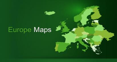


Continents & Regions Maps

PowerPoint Maps from the Continents and Main Regions of the World. Professionally designed and ready to download and use. All Map templates include 100% editable Political Maps, Charts, graphs, diagrams, and slides with innovative design ideas available to use in your next presentation. In this section, you will find templates for North America, South America, Europe, Asia, Africa, Australia & Oceania, and Latin America. All templates are available in 12 combinations of Designs and Colors.